User Data Querying
GeoRetina AI allows you to query your own custom uploaded geospatial data using the same powerful natural language capabilities available for public data. This enables you to perform sophisticated analysis on your organization's proprietary datasets.
What is User Data Querying?
User data querying refers to the ability to search, filter, and analyze vector features (points, lines, and polygons) from your own uploaded datasets based on:
- Attribute values specific to your data
- Spatial relationships (intersection, containment, proximity)
- Combinations of attributes and spatial filters
This capability allows you to ask natural language questions about your custom data and receive precise answers.
Uploading Your Data
Before querying user data, you'll need to upload your geospatial files to GeoRetina AI. The platform supports various formats:
- GeoJSON
- Shapefile (zipped)
- KML
- GeoPackage
For detailed instructions on uploading data, see the Custom Data Upload guide.
Querying Uploaded Data
Once you've uploaded your data, you can query it using natural language. Here's how:
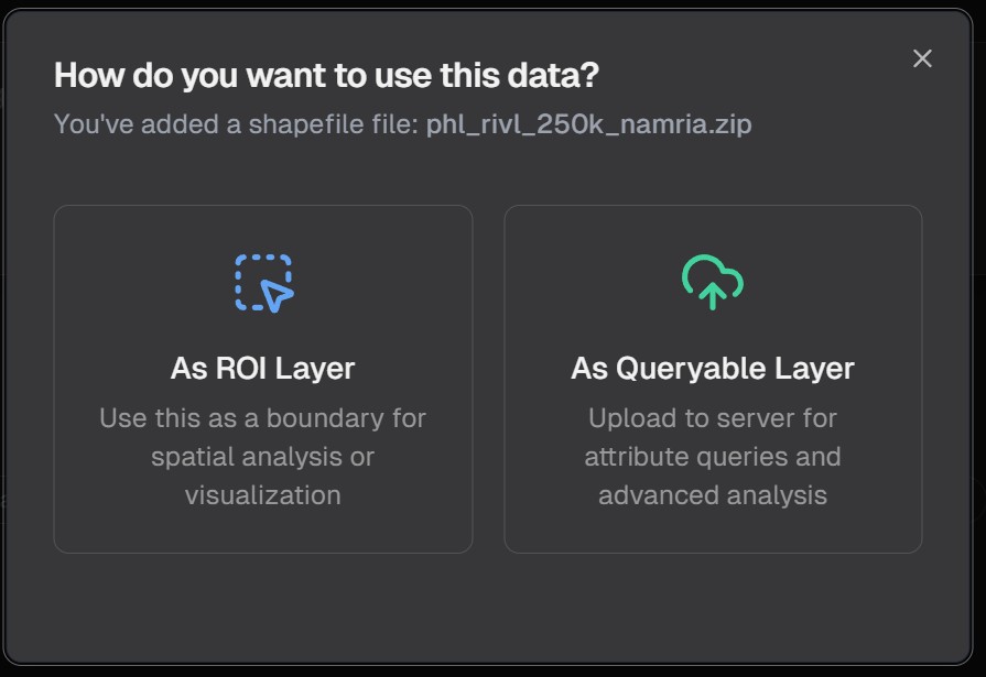
Step 1: Upload Your Data
Upload your geospatial data file through the GeoRetina AI interface:
Once uploaded, your data will be imported as a queryable layer:
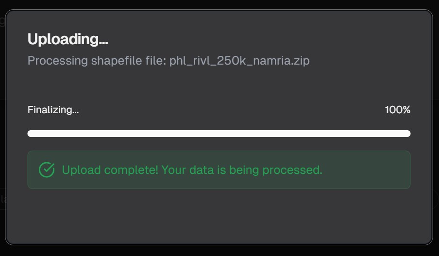
During the upload process, you'll see a progress indicator:

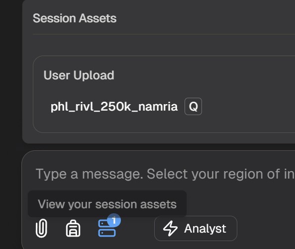
Step 2: View Your Data Layers
Your data will appear in the data layers list:
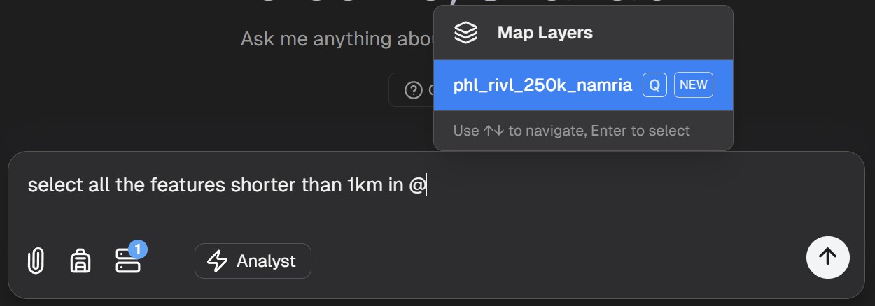
Step 3: Query Your Data
You can now ask questions about your uploaded data using natural language:
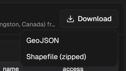
Step 4: View and Download Results
After running your query, you can view the results on the map and download them for further analysis:
Example User Data Queries
Here are some examples of questions you can ask about your uploaded data:
User Data Query Examples
Common queries for analyzing your custom uploaded datasets
Show me all parcels larger than 5 acres in this dataset
Which of my sensor locations recorded temperatures above 90°F last month?
Identify all buildings in my dataset that are within 500m of a flood zone
Count the number of customer locations in each sales territory
Combining User Data with Public Data
One of the most powerful features of GeoRetina AI is the ability to combine your user data with public data sources in the same query:
Find all my company's delivery locations that are within 1km of a major highway
Which of our survey points are located in areas with tree cover greater than 50%?
Show me all customer addresses that are in census tracts with median income above $75,000
Best Practices for User Data Querying
To get the most out of querying your custom data:
- Clean your data before upload: Ensure attribute names are clear and data is well-structured
- Know your attributes: Be familiar with the field names and data types in your dataset
- Start with simple queries: Begin with basic questions before moving to more complex ones
- Use descriptive layer names: When uploading multiple datasets, use clear names to distinguish them
- Remember spatial context: Consider the geographic scope and projection of your data
Next Steps
Continue exploring vector analysis capabilities: