External Data Integrations
GeoRetina AI allows you to integrate external geospatial data sources into your analysis workflow, enabling more comprehensive and customized insights.
What are GeoRetina AI Integrations?
Integrations allow you to connect GeoRetina AI with your existing geospatial data infrastructure, making it possible to:
- Query and analyze your proprietary data alongside public datasets
- Incorporate your organization's specific geographic information
- Maintain a single source of truth while leveraging GeoRetina AI capabilities
- Keep your sensitive data within your established security boundaries
Supported Integration Types
Currently, GeoRetina AI supports the following integration types:
| Integration Type | Status | Description |
|---|---|---|
| Esri Feature Service | Available | Connect to ArcGIS Online or Enterprise feature services |
| PostgreSQL/PostGIS | Coming Soon | Connect to spatial databases with SQL querying |
| GeoServer WFS | Planned | Access OGC-compliant Web Feature Services |
| Custom API | Planned | Enterprise solutions with custom API integration |
Setting Up an Integration
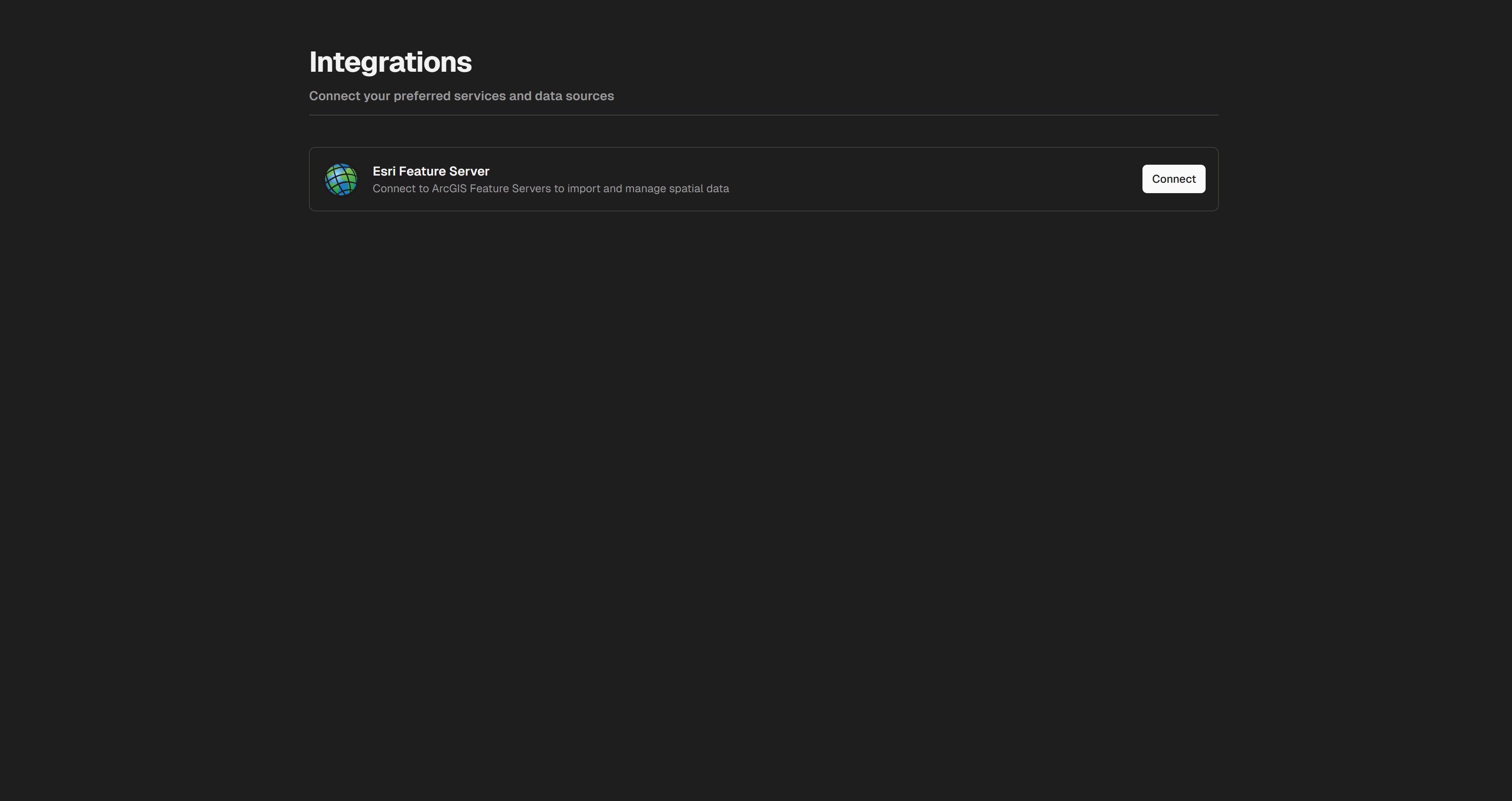
1. Access the Integrations Page
To set up a new integration, first click on the Integrations button in the main toolbar:

2. Configure Your Integration
Depending on the integration type, you'll need to provide:
- Connection details (URL, endpoints)
- Authentication credentials
- Data layer information
- Refresh frequency settings
3. Test and Save
After entering the required information:
- Click "Test Connection" to verify everything works
- Review the available layers/features
- Save your integration configuration
- Set appropriate access permissions
Using Integrated Data
Once your data source is integrated, you can:
- Query it using natural language just like any other data source in GeoRetina AI
- Combine it with other data sources in your analysis
- Visualize it alongside satellite imagery and other vector data
- Apply AI-driven insights to your proprietary data
Example queries:
Show me all buildings from my Esri Feature Service within this region
Compare the population density in my PostGIS layer with the land use patterns
Find areas where my integrated road network is more than 500m from any public transit stop
Best Practices for Integrations
For optimal results when integrating external data:
- Keep data structures clean: Well-organized data with clear attributes works best
- Use standard formats where possible
- Limit the scope of each integration to relevant data
- Consider performance impacts of large datasets
- Regularly update integrated data sources
Security Considerations
GeoRetina AI takes data security seriously:
- All connections use encrypted transport (TLS/SSL)
- Credentials are securely stored
- Access permissions can be limited to specific users/teams
- Integration logs provide audit trails
- No data is shared between organizations
Need Help?
If you need assistance setting up an integration:
- Check our detailed integration guides
- Contact our support team via the help center
- Enterprise customers can request dedicated integration support